Our Work
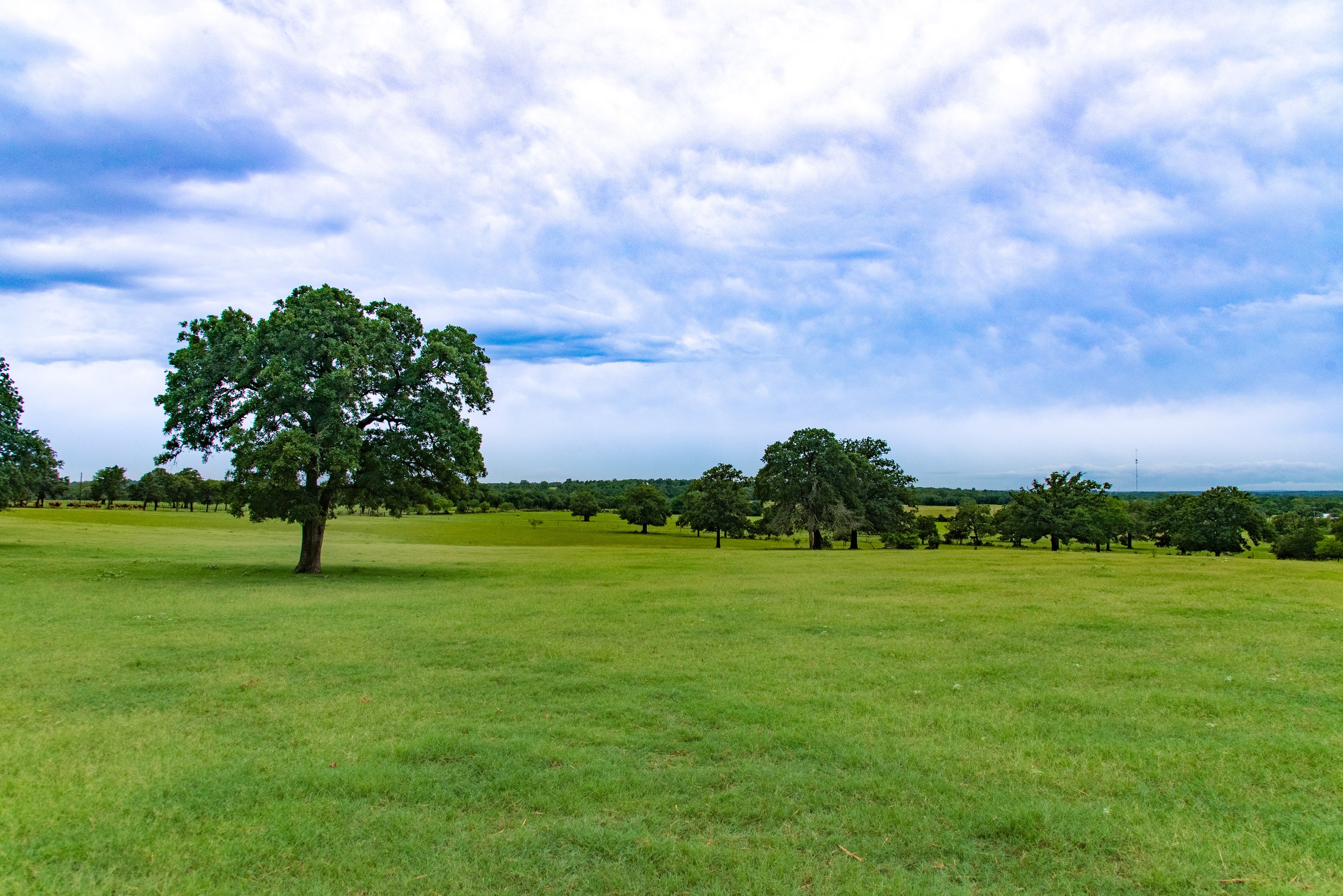
Protecting Land
Over 95% of the land in Texas is privately owned. This creates a unique challenge for Texans, as conservation becomes the responsibility of private landowners.
Assisting private landowners who choose to protect their property from encroaching development pressure allows them to prioritize conservation and protect more land and water.
TLC helps landowners find an economically advantageous, realistic alternative to selling their land that allows ownership to remain in their hands but puts the responsibility of conserving the land in ours.
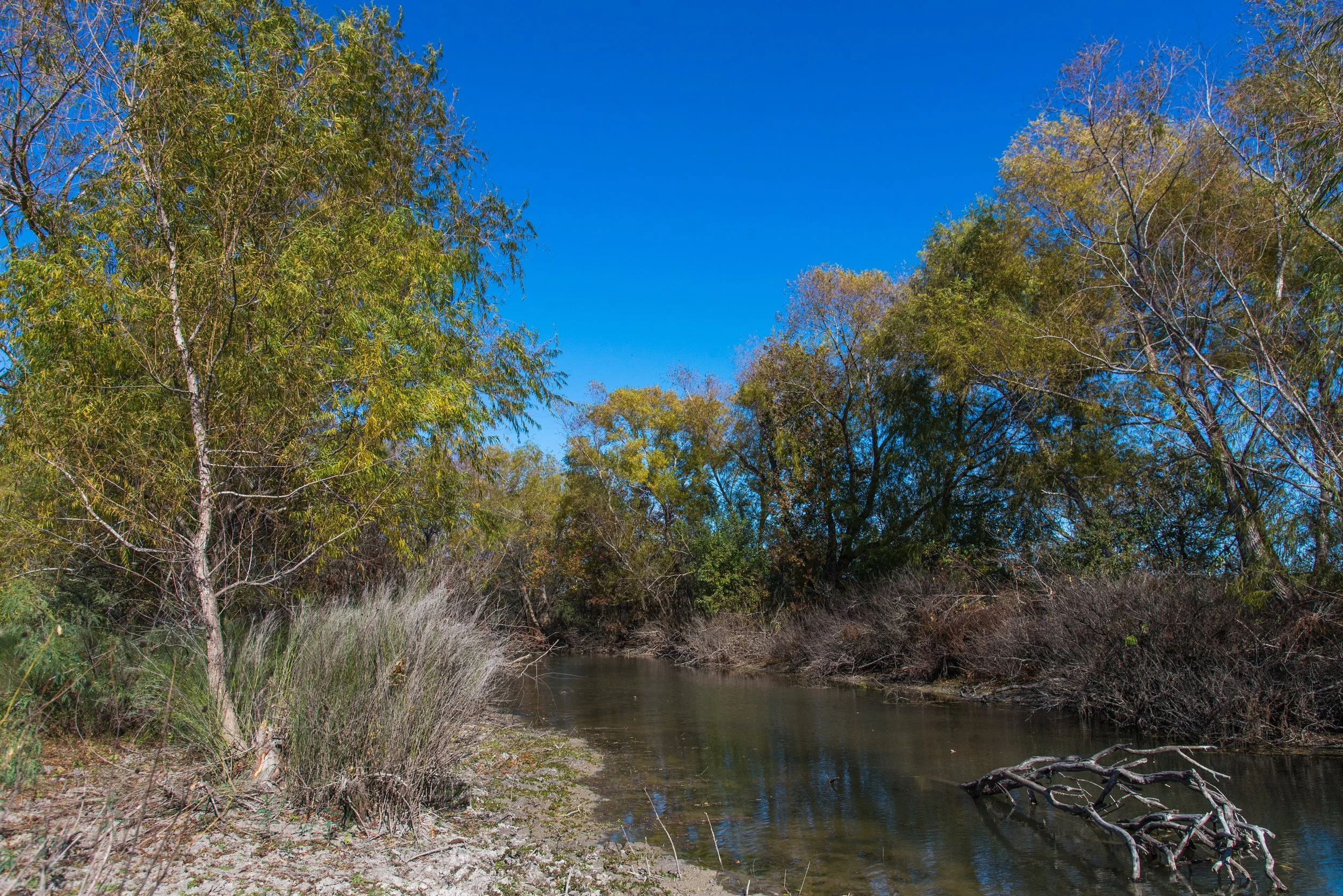
Saving Water
Streams, reservoirs, and rivers are increasingly threatened due to drought, development pressure, and population growth.
One of the most successful methods for conserving water is protecting land from being fragmented and developed.
TLC’s Land for Water Initiative guides our work to help maintain and increase water quality and quantity by conserving land in six target watersheds to benefit wildlife, ecosystems, and most importantly, the people in the surrounding areas and rest of the state.
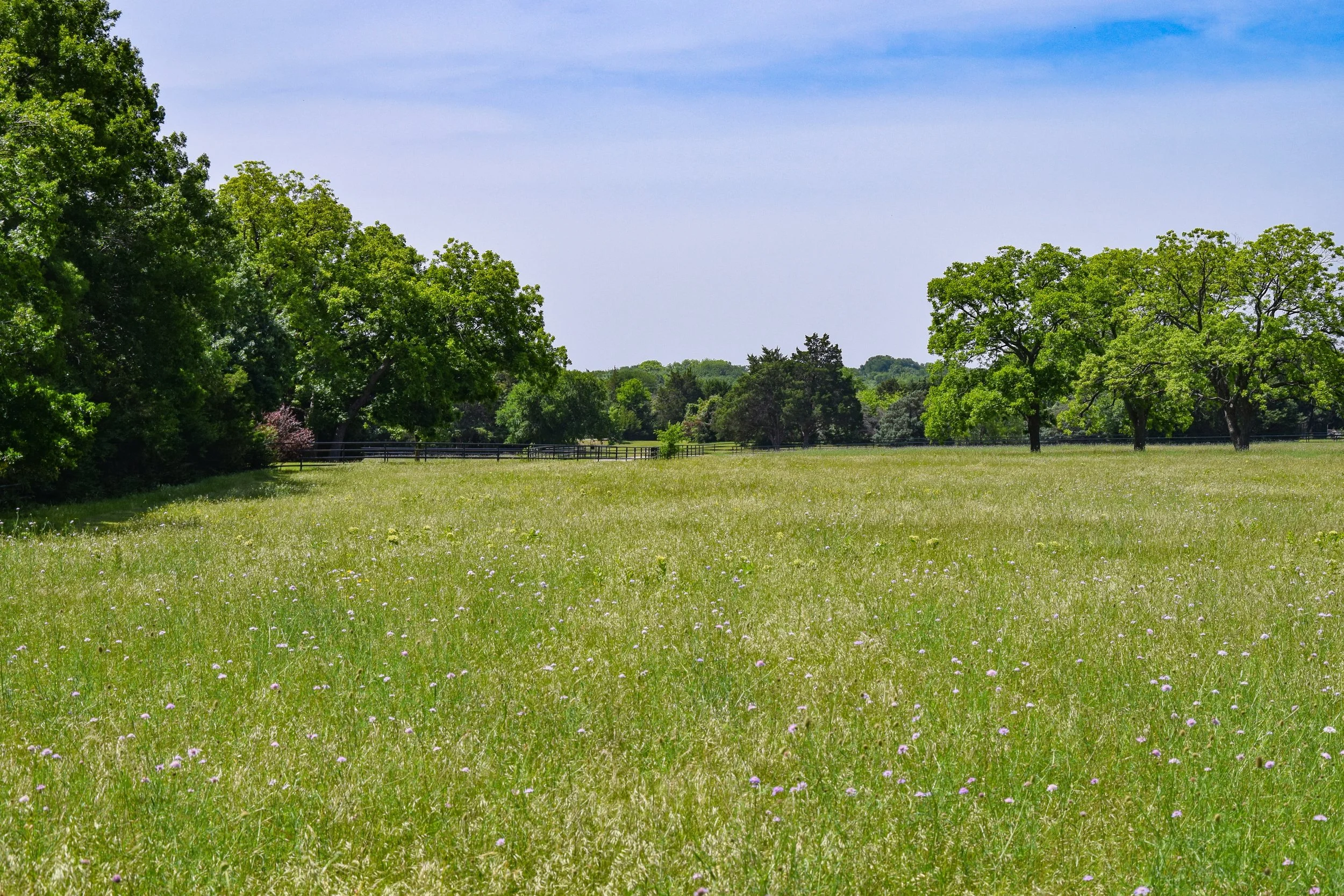
Connecting People
People are spending less and less time outdoors, whether it’s lack of access to natural spaces, fear or uncertainty around nature, or minimal exposure.
The more we can come together to share our love of nature, the more people will want to protect it.
TLC provides regular education and outreach activities on the land. Thousands of visitors explore our public preserves on their own or join us for volunteer days to manage and restore the land. We also partner with landowners to provide access to their private properties, sharing these special landscapes with the general public.
Protected Lands
Texas Land Conservancy protects land through purchased or donated nature preserves and by holding permanent conservation easements on privately owned land. We now protect 219 properties totaling 172,393 acres — all made possible by the generous support of our donors and volunteers.
Land For Water
Texas is losing its open lands faster than any other state in the nation. At the same time, our water resources are dwindling due to drought and unsustainable consumption by a growing population.
With the help of respected scientists in the conservation field, TLC created a framework focused on land protection in six key watersheds: Llano, Pedernales, Medina, Brazos, Trinity, and Neches. These watersheds are both under high threat of fragmentation and have opportunities for significant conservation impact. Strategically protecting land in these areas will make a significant impact on the future landscape of Texas.
-
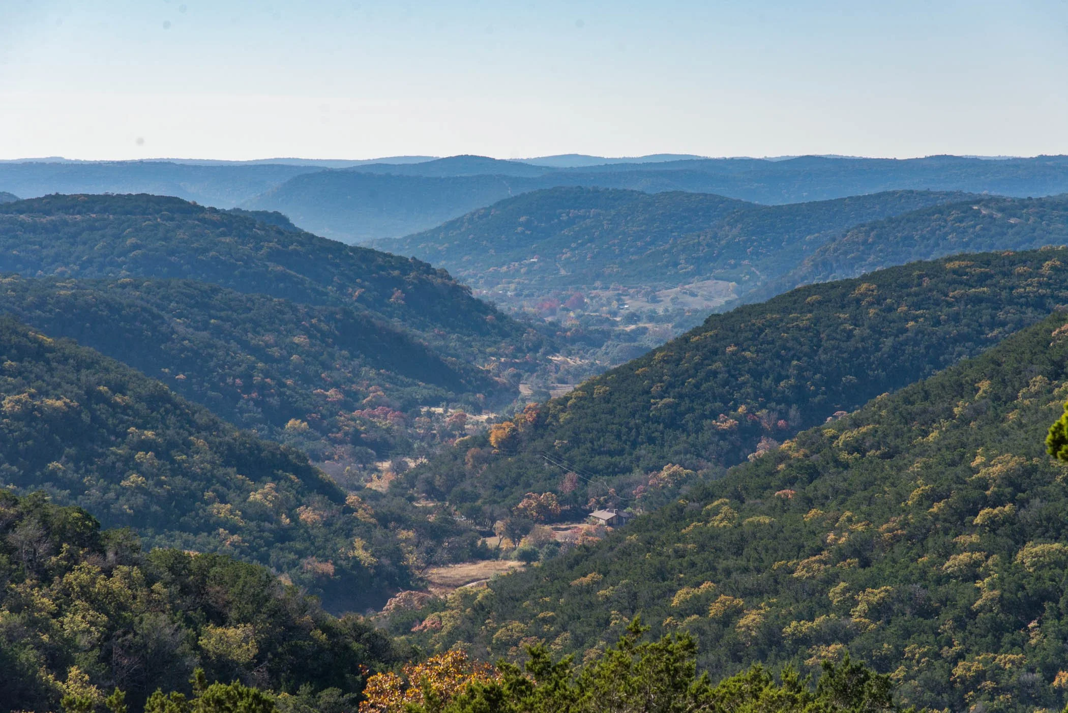
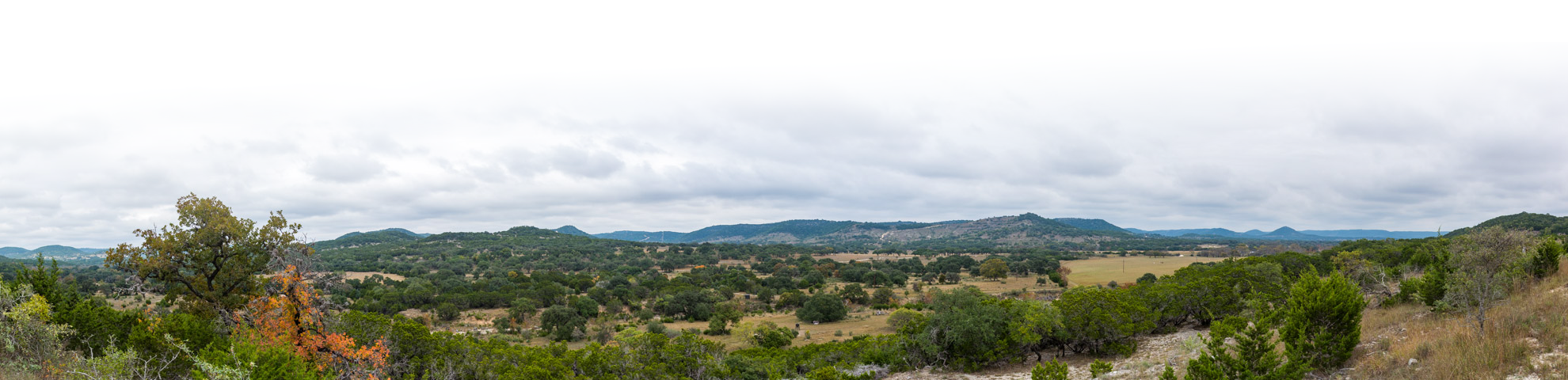
The Llano River watershed lies within 10 counties: Edwards, Kimble, Llano, Mason, Menard, Real, San Saba, Sutton, Gillespie, and Kerr. It also contains 253 miles of river corridor and three cities of significant growth: Junction, Mason, and Llano.
Widely known for its scenic beauty and recreational use, the Llano River flows for over 100 miles through the Texas Hill Country. As it winds through the rolling limestone hills of the Edwards Plateau, the clear, spring-fed river is lined by bottomland hardwood trees.
-
The 815,363 acres of the Pedernales Watershed contains 125 miles of river corridor, 7 counties, and two cities of growth: Johnson City and Fredericksburg.
For more than 100 miles, the Pedernales River winds its ancient Hill Country course, cutting through deep, mossy canyons and towering limestone cliffs before joining the Colorado River at Lake Travis, west of Austin. The Pedernales is one of Texas' most pristine and beautiful rivers—vast stretches of the river are lined by ranches and remain largely free of development.
-
The 25,452 acres of the Medina Watershed contains 116 miles of river corridor and 5 counties: Bandera, Bexar, Medina, and parts of Kerr and Kendall.
The Medina River is a short, narrow, and beautiful river that is reminiscent of the Upper Guadalupe because of the physical nature of its topography. Starting in northwest Bandera County to its confluence with the San Antonio River southeast of the city of San Antonio.
-
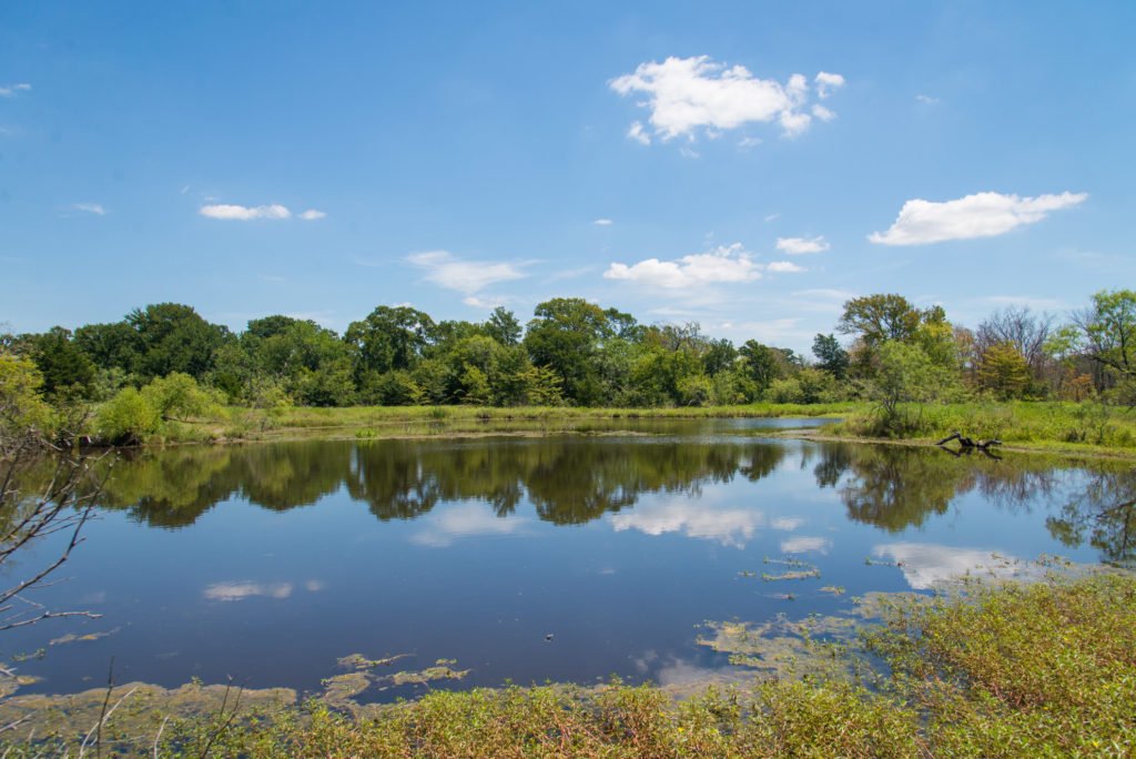
The 10,878,211 acres of the Brazos Watershed contains 668 miles of river corridor and 28 counties, including the cities of Waco, Temple, and College Station.
The Lower Brazos River flows through the heart of Texas. Its watershed captures the center of the rolling hills and savannas of the Cross Timbers, the dark clay of the Blackland Prairie, and the sandy Post Oak savanna ecoregions before briefly passing through the gulf coast prairie ecoregion on its way to the Gulf of Mexico. Along its meandering course through Texas, the lower Brazos, and its connected network of natural tributaries, oxbow lakes, and floodplain wetlands, possess varied and important aquatic habitat types and harbor numerous rare species of fish, mollusks, and crayfish.
-
The 6,116,580 acres of the Lower Trinity Watershed contains 408 miles of river corridor, 16 counties, and one of the biggest urban areas in the United States—Dallas.
The counties around Dallas, the headwaters of the Trinity, are some of the fastest growing in the nation, and this growth has forever changed the Trinity River, a vital water source for the urban areas at its headwaters. However, there is still hope for this river that sweeps through the northeastern heart of Texas. With pockets of conservation already in place, some remaining bottomland hardwood forests and prairies, and numerous endangered and threatened plant and animal inhabitants, the Trinity watershed can still be positively impacted by conservation if we act swiftly and strategically.
-
The 5,935,160 acres of the Neches Watershed contains 377 miles of river corridor and 18 counties, including the cities of Tyler, Lufkin, Nacogdoches, and Beaumont.
The Neches River is truly one of Texas' wildest natural assets. Its sometimes steep, heavily wooded banks and bluffs grow a combination of pines and hardwoods – oak, hickory, dogwood, pecan, and blackgum. From the headwaters starting in the Post Oak Savanna, winding through some of the most biologically diverse forests and wetlands in the U.S., to where it flows into Sabine Lake in the Gulf Coast Prairies and Marshes ecoregion on the Texas/Louisiana border, conservation along the full length of the river is priority.


Successes Across the State
Land conservation is not just about dots on a map and acres in a database. Learn more about the properties and the impacts of land conservation across the state.